You are here
Strong depression forecast midweek to bring snow
By Hana Namrouqa - Jan 03,2015 - Last updated at Jan 03,2015

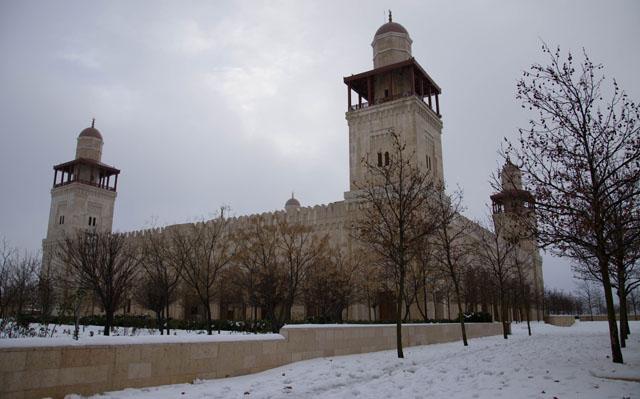
AMMAN — The country will be affected by a strong depression on Monday night, forecast to bring near-zero temperatures and accumulating snow, the Jordan Meteorological Department (JMD) said on Saturday.
In the meantime, the cold front that started affecting the country on Saturday will prevail on Sunday, with temperatures forecast to drop four degrees below their annual average of 13°C during this time of the year. The cold front is expected to bring snow to hilly areas in the northern and southern regions of the Kingdom and also cause frost formation in the badia and mountainous areas, according to the JMD.
On Sunday, the weather will be cold and cloudy with chances of rain at times in the northern and central regions. Winds will be westerly moderate to brisk and temperatures in Amman will reach a high of 10°C during the day, dropping to a low of 3°C at night.
JMD Director General Mohammad Samawi said Monday’s depression will bring strong, cold winds as well as snow, which is expected to cover areas in the capital that are 700 metres above sea level and higher.
“Cold polar winds blowing from northern Europe towards the Middle East will cause the formation of a deep depression, which will be centred over Cyprus on Monday and start affecting the Kingdom that night,” Samawi told The Jordan Times.
A drop in temperatures is forecast on Monday, and the weather will become very cold, cloudy and wet, according to Samawi.
“Rain on Monday night and Tuesday will be heavy and accompanied by thunderstorms and hail,” he said, noting that temperatures will continue to drop on Wednesday, ranging between a maximum of 4°C and a minimum of 1°C in the central region.
“Snowfall is highly expected in mountainous areas and the northern and central regions of the country on Wednesday and Thursday morning,” Samawi underscored, noting that the capital will witness snow, which will accumulate.
The JMD issued several weather-related warnings to the public, including possible frost formation after midnight in the badia and mountainous areas between Sunday and Tuesday.
The department also issued warnings of possible low road visibility on Wednesday and Thursday due to low-altitude clouds; flood formation in valleys and low-lying areas; as well as slippery roads.
In addition, the JMD cautioned the public about icy roads on Friday, when the weather will be cold and partly cloudy in the central region with daytime temperatures reaching 10°C and dropping to as low as 1°C at night.

Related Articles

The Kingdom will be affected on Wednesday night by a very cold polar front and a depression that are expected to bring rain and heavy snow, the Jordan Meteorological Department (JMD) said on Monday.
Snow, hail, heavy rainfall and very cold weather are forecast for Sunday, according to the Jordan Meteorological Department (JMD), which said temperatures will go below zero in several parts of the country.

AMMAN — A new depression accompanied by an intense polar front is expected to plummet temperatures on Wednesday, bringing rain and snow in a

Opinion


- Popular
- Rated
- Commented
Apr 30, 2025


Apr 30, 2025

Newsletter
Get top stories and blog posts emailed to you each day.