You are here
Snow, frost and rain forecast for final days of marbaniyeh
By JT - Jan 24,2017 - Last updated at Jan 24,2017

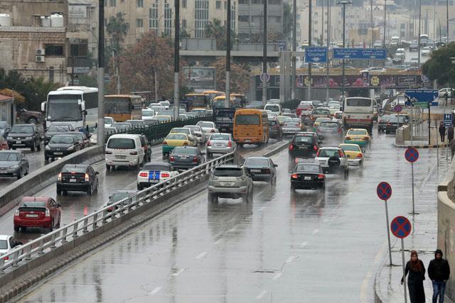
Snowfall is possible in mountainous areas on Friday, according to the Jordan Meteorological Department (Photo by Amjad Ghsoun)
AMMAN — The Kingdom will be affected by a weather depression of polar origin accompanied by a cold air mass from Thursday, the Jordan News Agency, Petra, quoted Jordan Meteorological Department (JMD) Director General Mohammad Samawi as forecasting on Tuesday.
He said that as the depression centralises over the northwestern coast of Syria, heavy rainfall is forecast, especially late at night, accompanied by brisk westerly winds.
Snowfall is possible in mountainous areas on Friday, the JMD director general said, adding that the depression is expected to intensify on Saturday.
Snowfall is likely in mountainous areas throughout the country, accompanied by northwesterly winds with speeds between 60 and 80 kilometres per hour in some areas, Samawi added.
The JMD warned of the possibility of frost formation after the depression ends, saying it will work around-the-clock to monitor weather conditions and provide up-to-date information to the public and the authorities, allowing any necessary measures and precautions to be taken.
Despite poor rainfall over this winter’s marbaniyeh, the 40 coldest days of the season, Samawi said that rainfall was good until January 22.
He noted that 88 per cent of rain fell in the northern areas, amounting to around 369 millimetres.
On Thursday temperatures will range between a high of 13°C and a low of 5°C in Amman, and between 19°C and 10°C in Aqaba.
Amman on Friday will see a high of 10°C and a low of 2°C, with Aqaba seeing temperatures range between 17°C and 8°C, according to the JMD.

Related Articles
AMMAN — Today marks the winter solstice and the start of marbaniyeh in Jordan — the 40 coldest days of winter — the Jordan News Agency, Petr
The country will be affected by a strong depression on Monday night, forecast to bring near-zero temperatures and accumulating snow, the Jordan Meteorological Department (JMD) said on Saturday.
AMMAN — A brief cold air mass expected to grip the Kingdom on Friday is forecast to subside in the afternoon, while a new cold wave is forec

Opinion

Apr 26, 2024

Apr 26, 2024


Apr 25, 2024
- Popular
- Rated
- Commented
Apr 26, 2024
Apr 26, 2024
Apr 25, 2024


Newsletter
Get top stories and blog posts emailed to you each day.