You are here
Webinar explores changes to Amman’s landscape
By Saeb Rawashdeh - Aug 30,2020 - Last updated at Aug 30,2020
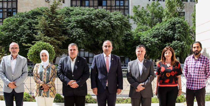
AMMAN — Exploring the rapid changes to the capital landscape, a webinar titled “The Making of Amman”, was held at the American Centre of Oriental Research on Thursday.
In 2014 two scholars decided to start a project on how Amman rapidly changes, said American historian Betty Anderson during the webinar.
“We have gathered a number of local researchers,” said Anderson, professor of Middle East History at Boston University.
She added that the project includes collecting and analysing data regarding different neighbourghoods in Amman.
The research conducted by Anderson and Fida Adely from Georgtown University emphasises stories from young Amman residents and how these stories map a city geographically, socially and economically, the scholar said.
“We initially asked our interviewees where they feel most comfortable in Amman and how they define themselves in relations to the city,” Anderson said, noting that most of them consider Jabal Luweibdeh as an “informal heart” of Amman, a neighbourhood where “they feel most comfortable”.
Also, researched were people who commute throughout the whole Amman, looking for job opportunities, studying or socialising with their peers, Anderson continued.
The focus groups were first organised in west Amman, but last year they moved to Jabal Ashrafia, Jabal Hussein and Nuzha, Anderson said, adding that the number of participants in the research was 157 and the average age was under 27.
“Amman is a place where old and new neighbourhoods generate a strong sense of belonging,” Anderson noted,
One of the plans after the end of this research is to draw and interactive map of the most popular areas in the city, she said.
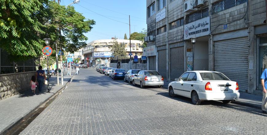
Moreover, another popular spot is Medina Street because of a variety of restaurants and coffee shops, according to the scholar.
The perception of refugee camps has changed and many interviewees who live inside camps or work with NGOs involved with refugees have a positive impression about places like Hussein camp or Wahdat, the scholar added.
“In different neighbourhoods we asked locals to walk us around and tell us the local narrative particularly important for that part of Amman,” Anderson said,
During walking tours the team produces photographic essays and interactive maps.
Moreover, tour guides showed the researchers their marketplaces, schools, and they talked about their families moving in and out of the area, Anderson highlighted, adding that some areas were built around state institutions — Jubeiha and Sweilleh around the University of Jordan, Jabel Ashrafia adjacent to Al Bashir Hospital and Marka near the military airport.
“I think there is an intertwined phenomenon of Amman’s topography and people’s sense of place around the city,” she stressed, noting that the major landmarks are the flagpole and Amman Boulevard.
“Here we have history, movements, topography and geopolitical events that are crucial to thinking about this city, and many of the city’s history are vertical, rising from the bottom of the hill towards the top,” Anderson concluded.

Related Articles
AMMAN — The city of Amman will receive $1 million for winning the Global Mayors Challenge and having come up with one of the most innovative
AMMAN — Despite the regional turmoil, economic crisis and the influx of refugees, Amman has become a significant hub for art, galleries and
AMMAN — Amman Mayor Yousef Shawarbeh has said that the Greater Amman Municipality (GAM) is working to ensure that all neighbourhoods of Amma
Opinion

Apr 26, 2024

Apr 26, 2024


Apr 25, 2024
- Popular
- Rated
- Commented
Apr 26, 2024
Apr 25, 2024
Apr 26, 2024

Newsletter
Get top stories and blog posts emailed to you each day.